Madikeri: In the wake of the devastating Wayanad landslide tragedy, which claimed more than 350 lives, a team of geologists from the Geological Survey of India (GSI) will visit Kodagu district next week to evaluate the stability of mountains, slopes and hilly areas where human settlements exist.
Kodagu Deputy Commissioner (DC) Venkat Raja has confirmed that the team will study landslide-affected regions to assess the current situation. They will examine geographical features, soil composition, rock types and factors contributing to landslides. Their findings will be reported to the District Administration.
Previously, GSI scientists had inspected the district during the severe natural calamity of 2018, focusing on landslide-prone areas such as Meghathalu, Hemmathalu, Makkandur, Kaloor, Madapura, Hattihole and villages in Sampaje.
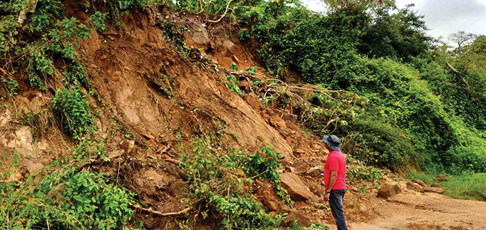
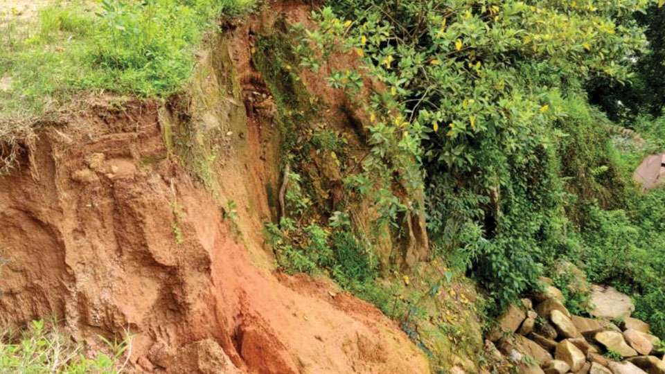
They also visited Surllabbi, Hamiyala, Mutlu, Hachchinadu, Kumbaragadige in Somwarpet, and Korangala in Bhagamandala, Thora village near Virajpet, where fatalities occurred in 2019, as well as Malethirike Hill, Ayyappa Swamy Hill where deep fissures were found with sound of water coming from insides of the mountains, and Gajagiri Hill landslide in Talacauvery in 2020 where people died.
The scientists conducted detailed examinations and submitted a comprehensive report to both the District Administration and State Government. The report outlined the causes of landslides, preventive measures, risks and a list of flood-prone villages.
This monsoon season has brought above-average rainfall to Kodagu. In response to potential dangers, the District Administration has proactively deployed a team from the National Disaster Response Force (NDRF) and established task forces for rescue operations at the village level.




Recent Comments