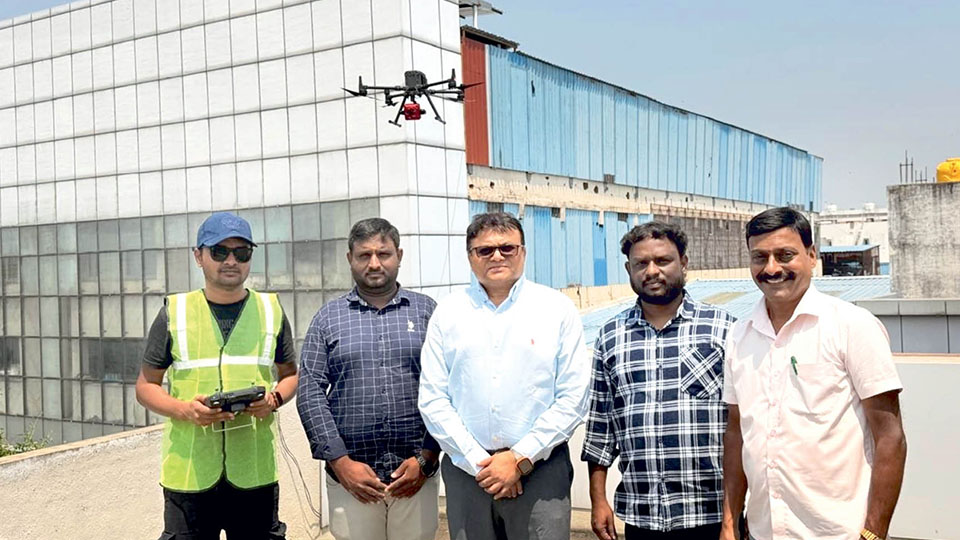
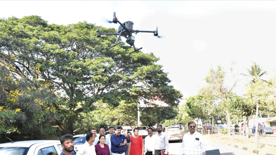
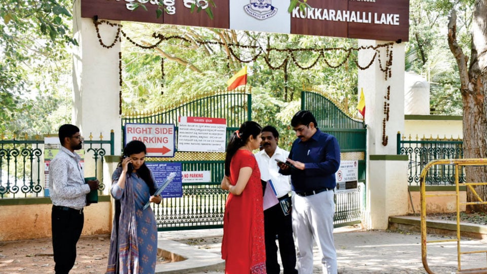
Mysore/Mysuru: The Mysuru City Corporation (MCC) has launched a pilot project to scientifically survey and document properties across the city using advanced 3D aerial LiDAR (Light Detection and Ranging) and Ground Penetrating Radar (GPR) technology. As part of the exercise, a preliminary drone test was carried out in Santhepet yesterday. The MCC has jurisdiction over…
Drone survey of Poornaiah Canal: List of all encroachers to be compiled for eviction drive
December 17, 2023Mysore/Mysuru: The Mysuru District Administration that has launched a comprehensive drone survey to identify and eliminate encroachments on the historic Dewan Poornaiah Canal is set to compile a detailed list of encroachers, spanning private entities, public associations and even cases involving legitimate Government grants. Subsequently, an eviction process will be initiated, preceded by the issuance…
Drone Survey to map encroachment of Dewan Poornaiah Canal: DC
December 16, 2023Mysore/Mysuru: Following complaints of encroachment of Dewan Poornaiah Canal area in the city, the District Administration is taking up a Drone Survey to identify and clear the encroachments of the canal area that actually serves as the main feeder Canal, supplying fresh water to Kukkarahalli Lake and runs between Bogadi and SBM Layout here. Speaking…


Recent Comments