

GIS to be merged with Kaveri 2.0
Mysore/Mysuru: Property registrations in Karnataka have long been marked by irregularities, with false information often furnished in documents to create fraudulent records. In several instances, the Government has suffered revenue losses due to underpayment of stamp duty.
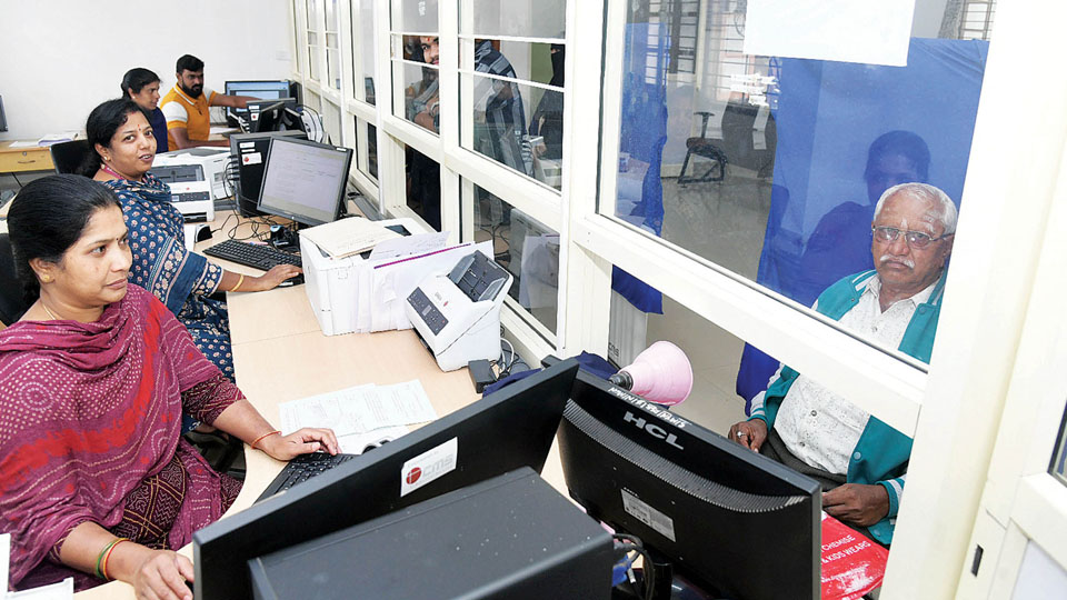
In a bid to curb such practices, the State Govt. is introducing modern Geographic Information System (GIS) technology into registration process. The new system will be integrated or merged with existing Kaveri 2.0 software to enhance transparency and accuracy in property transactions. With GIS-enabled mapping, Revenue officials will be able to verify the precise measurements, geographical location, road connectivity and other critical details of a property at the time of registration.
This is expected to effectively eliminate fraudulent registrations based on fabricated information or stamp duty evasion.
Until now, it was not uncommon for applicants to furnish misleading details at Sub-Registrar offices. Multi-storey buildings were sometimes registered as single-storey structures, while agricultural land with standing crops, such as coconut plantations, was declared as vacant land. Such discrepancies often went undetected and were officially recorded. With GIS integration, all property particulars will be captured using GPS coordinates once the Property Identification Number (PID) is entered in the software.
The system will display accurate maps and data on computer screens, and registrations will include photographs of the property along with exact measurements, property ‘Chakbandi,’ road access and other relevant details.
The registration process will also be linked to e-Swathu and e-Khata databases through GIS, creating a more robust and interconnected verification mechanism. As GIS technology becomes embedded within Kaveri 2.0, the scope for manipulation through false declarations is expected to shrink considerably.
Officials said most technical glitches in the GIS platform have been resolved, and the State Government is likely to formally roll out the upgraded system in the coming days.
With the integration of GIS technology, attempts to cheat the Government during property registration by furnishing false information or underpaying stamp duty will no longer be feasible.
Automatic calculation of stamp duty
Once property details are entered into the system, stamp duty will be calculated automatically and with precision. At the time of registration, as soon as the survey number or PID is entered, the system will instantly determine the exact stamp duty payable.
Registration will be completed only after the required documents are scanned and verified, ensuring a thorough validation process.
This mechanism is expected to effectively plug loopholes that earlier enabled evasion of stamp duty through false declarations.
Officials added that the system also provides for rectification of errors in property records in case of inadvertent mistakes by officials, allowing necessary corrections to be made within the framework of the new technology.
Encroachment, boundary disputes to be eliminated
Encroachment and boundary disputes have long been among the most persistent problems in property ownership. Such conflicts often escalate into prolonged legal battles, with cases dragging on in Courts for years.
The introduction of GIS technology is expected to eliminate such disputes. By providing precise details of a property’s geographical location, measurements, road connectivity and other attributes, GIS will leave little room for manipulation in registration documents.
If incorrect information is entered, the system will immediately flag discrepancies, as the submitted details will not match the property’s mapped data.
‘Technology currently under review’
The GIS framework for property registration has been developed and submitted to the Government, and it is currently under review by officials from the Department of Information Technology. An advanced system of this scale cannot be rolled out overnight.
The formula is now undergoing internal testing, during which feedback, suggestions and directions are generated to address any shortcomings. After necessary corrections are made, the revised version is resubmitted for further scrutiny. This process of refinement has been continuing for the past several days. Once all issues are resolved and the system is found to be fully reliable, the Government will formally launch it. GIS-enabled property registration will commence thereafter.
—Vijayalakshmi Enamdar, District Registrar, Mysuru


Recent Comments