

Mysore/Mysuru: The Mysuru City Corporation (MCC) has launched a pilot project to scientifically survey and document properties across the city using advanced 3D aerial LiDAR (Light Detection and Ranging) and Ground Penetrating Radar (GPR) technology.
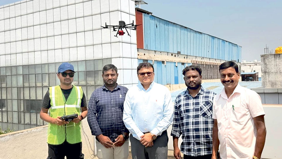
As part of the exercise, a preliminary drone test was carried out in Santhepet yesterday.
The MCC has jurisdiction over 2.31 lakh properties and the survey aims to create a high-precision digital map of the city to support planning under the Smart City initiative. Officials said, tenders for the LiDAR survey are likely to be floated by the end of this month.
As part of the pilot exercise, drones will capture 3D images and maps of nearly 500 properties over three days.
The survey will record key details such as the width and height of buildings, the number of floors and whether the property is used for residential or commercial purposes. The data collected will be compiled into a detailed mapping report.
Tender after approval
MCC Deputy Commissioner (Revenue) G.S. Somashekar told Star of Mysore that once the three-day mapping exercise is completed, a report will be submitted to the Government seeking approval to extend the survey to all properties. Tenders for the full-scale project will be floated after the Government approves.
Using Geographic Information Systems (GIS) and remote sensing technology, the survey will generate highly accurate digital models of the city, capturing both above-ground and underground features as well as property-level details.
The LiDAR survey will also enable the MCC to verify property information more accurately. At present, some property details are based on self-declarations by owners and officials say discrepancies often occur, including cases where commercial use is not accounted for.
Such inaccuracies affect revenue. With precise data from the survey, the MCC expects to ensure fairer tax assessment with data-driven governance, plug revenue leakages and improve overall tax collection.
Apart from property data, the aerial mapping will also provide valuable information about roads, drainage networks, underground pipelines and urban layouts, which will help in better neighbourhood planning and infrastructure development.
How LiDAR works
Aerial LiDAR technology works by emitting thousands of laser pulses every second from a sensor mounted on a drone. These pulses travel to the ground and bounce back after striking surfaces such as buildings, trees and the terrain.
By measuring the time taken for each pulse to return, the system calculates distances with high precision. The data is then used to generate a dense 3D “point cloud” that accurately maps the contours and features of the landscape.
What makes LiDAR particularly effective is its centimetre-level accuracy and speed. Unlike traditional ground surveys, it can cover large areas in a short time while capturing fine surface details that are often missed by conventional methods.


Recent Comments