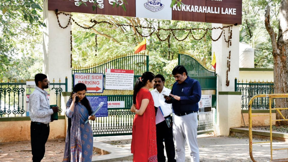
Mysore/Mysuru: Following complaints of encroachment of Dewan Poornaiah Canal area in the city, the District Administration is taking up a Drone Survey to identify and clear the encroachments of the canal area that actually serves as the main feeder Canal, supplying fresh water to Kukkarahalli Lake and runs between Bogadi and SBM Layout here.
Speaking to Star of Mysore today, Deputy Commissioner (DC) Dr. K.V. Rajendra said “We want to clear the encroachments in a planned way, beginning with the identification of encroachments by private parties or Government Departments, private layouts and the competent authorities that approved the plan and violations if any, while approving the plan.”
If the encroachment clearance drive is carried out at one go, the chances of inviting the wrath of the people are more. Hence, a list of encroachments and encroachers will be prepared to go ahead according to the plan.
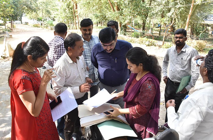
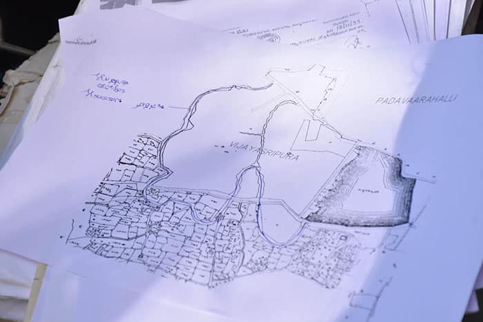
Most importantly, the Drone Survey will be carried out from the canal area near Kukkarahalli Lake (leading towards Bogadi-Gaddige Road), on the basis of available map that clearly shows the existence of rural areas around the canal. Prior to the survey, a meeting of Officers from Department of Survey, Settlement and Land Records also has been conducted. Of the total 22-km canal area, only 4 kms remains today due to rapid and unscientific development works. Constructed in the 1980s, Vijayanagar and Bogadi witnessed massive earth-moving activities, leading to the destruction of the historic Canal. The Canal’s purpose was to supply fresh water to Kukkarahalli Lake from Bommanahalli Lake near Huyilalu village.



Recent Comments