- Govt. allocates Rs. 75 crore for silt removal
- Geo Marine Solutions conducts survey
Kushalnagar: Water level at Harangi Reservoir in Kodagu from where Cauvery water flows to Krishna Raja Sagar (KRS) Dam in Mandya is precariously low and is depleting by the day, causing concern.
Realising the gravity of the situation, the State Government has asked the Karnataka Engineers Research Station to conduct a survey of the river to ascertain the amount of silt deposited in the Dam. Water level today at the dam stands at 1.159 tmcft while last year’s level on this date was at 1.878 tmcft.
The State Government has already allocated Rs.75 crore to desilt the Harangi Dam and the issue of silt was raised by MLC Veena Achaiah at the last Assembly session held in Belagavi. Veena Achaiah told Star of Mysore that in the Assembly, Water Resources Minister D.K. Shivakumar had replied to her queries on silt deposit and said that the State Government has taken up a survey using drone to assess the amount of silt deposited in Harangi Dam.
Geo Marine team study
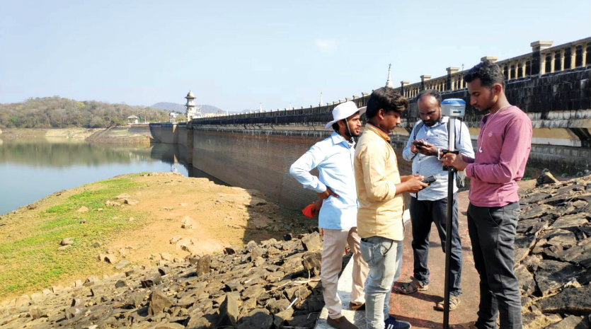
The Karnataka Engineers Research Station (KERS) was established in 1944 and is located at KRS Dam, Mandya. The KERS has assigned the task to Geo Marine Solutions Pvt. Ltd. and the team is conducting the survey from the past five days.
The Geo Marine Solutions team is headed by former Director of Geological Survey of India Praveen Kumar and comprises Dhanraj, who processes data and Jithesh, who is a surveyor.
There is a huge amount of silt deposited inside the Dam and this is making the dam incapable of storing more water, especially during the crisis months. The alarming depletion of water in Harangi has caused concern among residents of Kodagu, Mysuru and Mandya as they are set to face severe water shortage during peak summer season.
Bathymetric Survey
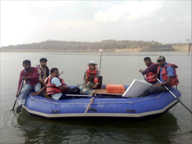
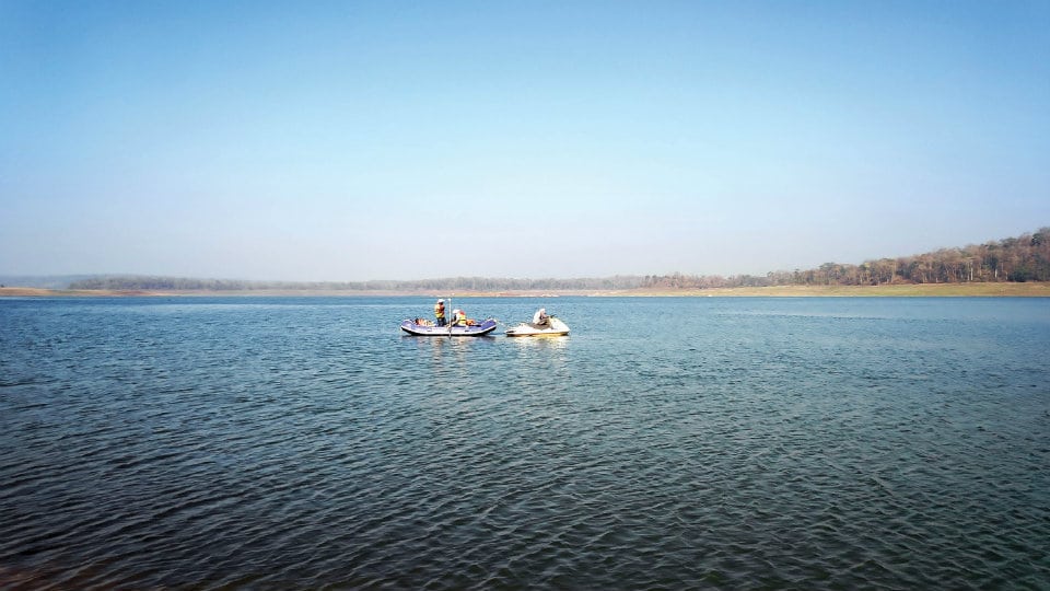
At present, the Geo Marine Solutions team is doing Bathymetric Survey in the backwaters of Harangi. (Bathymetric Survey allows scientists to measure the depth of a water body as well as map the underwater features of a water body). The survey is being conducted using ‘Echo sounder’ to estimate the depth and this data will be compared with the original Dam data to calculate the silt accumulated in the Dam.
The team will carry out drone survey from today where a drone that has a capacity to fly for 45 minutes will be used. The drone too will record the data and the silt accumulated area is calculated using the drone survey data as the flying machine will cover the Dam from the place of the river origin till it reaches the Dam.
The Harangi originates in the Pushpagiri Hills and the length of Harangi River from its origin to the confluence with Cauvery River near Koodige is 50 km. The drone will cover the entire length of the Harangi River and will fly above Hattihole, recording data. The total catchment area is 419.58 square kilometres.
Report by February end
The team is expected to give its report by the end of February of the density and extent of silt-accumulated areas. The sediment region will be differentiated into sand, mud, soil and stones and the regions will be mapped by the team for proper usage of the silt, Praveen Kumar told SOM.
Apart from silt accumulation, the team will study the deposit of rocks along the river course and suggest remedial measures. Thousands of tonnes of sand and rocks mixed with trees were washed away from Hattihole and Madapura regions during the flash floods and massive landslides in August-September last year. The team will examine if the river courses have changed due to landslides and suggest measures before the rainfall season this year.
Desilting work
Veena Achaiah said that the silt deposit clearance work will begin in the first week of March after the government studies the report submitted by the Karnataka Engineers Research Station. “I have already had a discussion with Kodagu District Minister S.R. Mahesh so that the government can use the sand extracted from the Dam. It can even be used in the ongoing construction of houses for flood victims in the district,” the MLC added.




Recent Comments